
GPR Utility Mapping
Project Overview
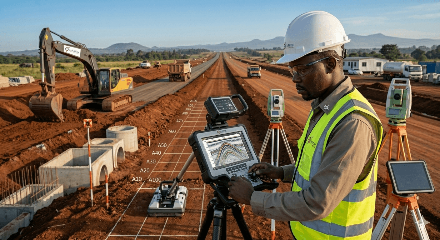
Subsurface utility mapping using Ground Penetrating Radar to locate high-voltage cables and fiber optic lines prior to road expansion.
To prevent accidental damage during road construction in Nairobi's Central Business District, Cherith GeoSystems deployed Ground Penetrating Radar (GPR) to map critical underground utilities. We successfully identified high-voltage electricity lines, fiber cables, and water mains that were not accounted for in outdated records. This proactive mapping prevented millions of shillings in potential damage and service disruptions.
Technical Specifications
GPR Frequency
400MHz / 900MHz Dual Band
Max Depth
5.0 Meters
Data Quality
High-Res Subsurface Profile
Turnaround
Real-time Field Marking
View More Projects
Back to PortfolioNeed Accurate Survey Data You Can Trust?
Partner with Cherith GeoSystems for precision, reliability, and expert insights. Transform your physical land data into confident mapping intelligence today.